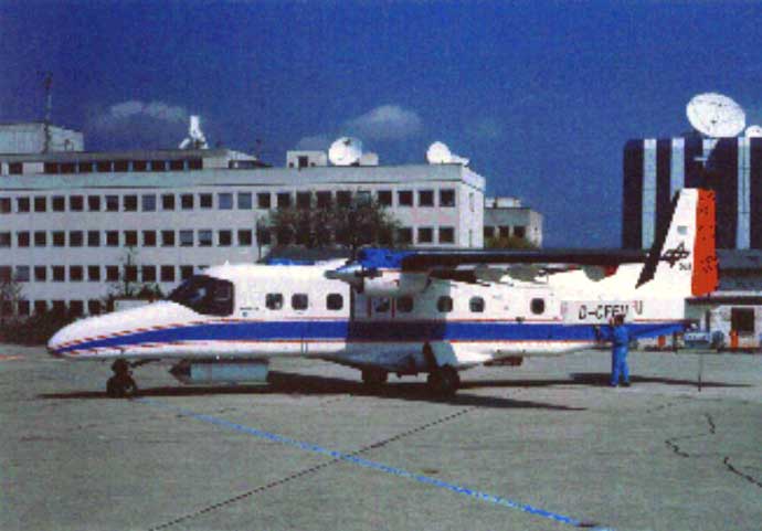
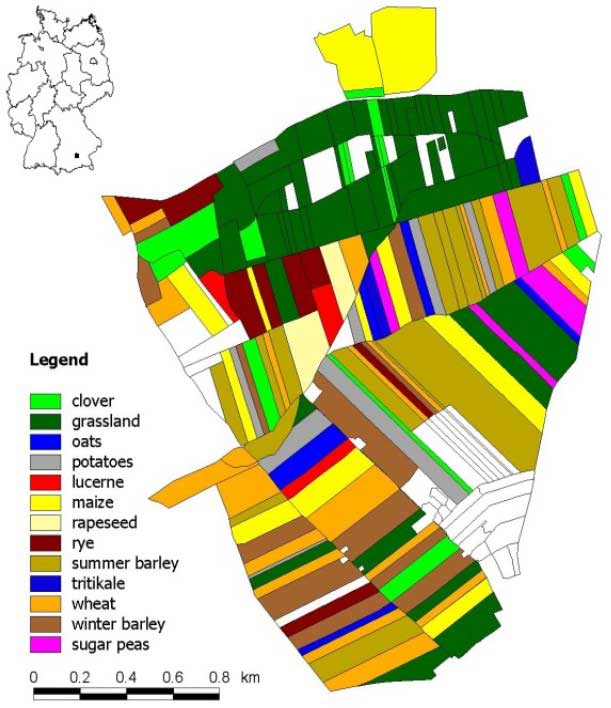
T e r r a  D e w Research Project


Home

Contact

Overview

Study site

Experimental data

Results

Publications

Links

SAR data:

  • System: airborne E-SAR of the German Aerospace Center (DLR)
  • Record times: 14th (dew event) and 16th June 2000 (rain event) at 6, 9 and 12 am
  • Radar bands: X (HH & VV), C (VV & HV) and L (polarimetric)

Groundtruth data:

  • Soil moisture: gravimetric and volumetric
  • Land use mapping
  • Vegetation parameter: height, row spacing, fractal cover, biomass, LAI
  • Micro-climatologic: rainfall, temperature, wind speed, incoming and reflected radiation

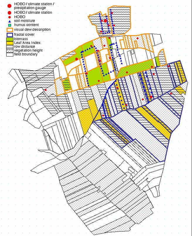
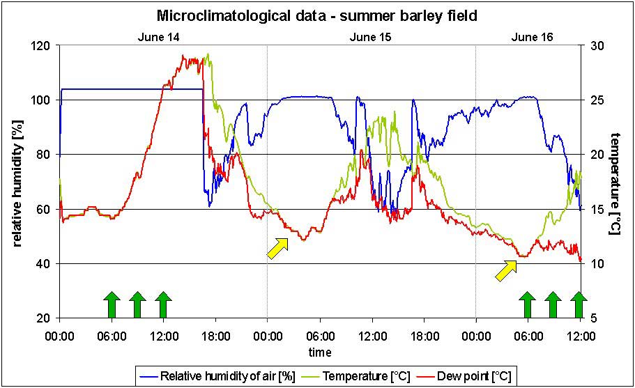
Landuse- und Vegetation Mapping by Carolin Vogel and Sabine Schmidt (in German)

Leaf Area Index and Fractal Cover by Daniela Knorr and Christian Weise (in German)

Microclimatological measurements by Steffen Grünler ad Markus Wolf (in German)


[Home] [Contact] [Overview] [Study site] [Experimental data] [Results] [Publications] [Links]